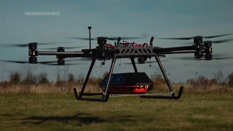
Teaching naval drones to land on ships without GPS is no longer a laboratory curiosity. It is a survival requirement born from the reality that contested waters mean jammed signals, spoofed coordinates, and decks pitching violently in open ocean. When satellite navigation goes dark, a drone relying on standard waypoints either wanders off into empty water or slams into the superstructure of a moving vessel. Modern naval autonomy shifts the burden onto onboard vision systems, inertial sensors, and relative tracking algorithms that read the ship itself rather than waiting for orbital broadcasts.
Anyone who has spent decades watching defense procurement knows how easily a slick engineering demo gets sold as fleet readiness. A calm sea state at a test range proves very little. Real maritime recovery happens when salt spray coats lenses, wind shears rip across a flight deck, and an adversary floods the radio spectrum with electronic noise.
Why Satellite Signals Fail at Sea
GPS and other global navigation satellite systems were never designed for high-stakes naval warfare. The signals arrive from space at extraordinarily low power, making them fragile long before an enemy deploys dedicated electronic warfare gear. A cheap commercial jammer can drown out civilian frequencies across a wide radius, while military-grade spoofing can feed a receiver subtly false timing or position data that nudges an aircraft off course by tens of meters.
At sea, a ten-meter error is the difference between a clean touchdown and a twisted airframe in the drink. Ships are moving targets that roll, pitch, and heave on swells that change every few seconds. Even when a ship's own navigation suite maintains a solid lock, transmitting corrections over an active data link creates an electromagnetic signature that hostile forces can detect, intercept, or disrupt.
Autonomous recovery without GPS starts with a hard truth. You cannot treat satellite lock as a permanent utility like shore power. If an aircraft loses GPS twenty seconds above a deck, a sluggish fallback routine will fail. The transition has to be baked into how the vehicle perceives space from takeoff onward.
Vision Versus Radio Links
Early shipboard recovery systems leaned heavily on precision approach radars, optical beacons, and ship-to-air datalink guidance. Those tools work well in benign environments, and they still have a place as layered backups. Yet every external emitter adds weight, power draw, maintenance hours, or vulnerability to jamming and line-of-sight blockages.
Computer vision and optical flow change the geometry of the problem. Instead of asking where the drone is on a global map, onboard cameras and depth sensors ask a simpler, more urgent question. Where is the landing spot relative to my nose right now, and how fast is that spot moving toward or away from me?
By recognizing deck markings, arresting gear, structural lines, or thermal signatures, a vision-guided drone builds a local coordinate frame anchored to the ship itself. The vessel becomes its own reference beacon. Even if the ship alters speed or turns into the wind, relative tracking keeps the aircraft locked onto the moving target without needing a steady stream of external position updates.
Inertial Drift and Sensor Fusion
Cameras alone have blind spots. Fog rolls in, sun glare hits a lens at a sharp angle, night falls, or exhaust plumes distort the view near the stern. That is why non-GPS landing relies on sensor fusion, blending optical data with an inertial measurement unit (IMU) and sometimes lidar, radar altimeters, or barometric readings.
An IMU measures acceleration and rotation at high frequencies, filling in the gaps between camera frames. The catch is drift. Tiny measurement errors in accelerometers and gyroscopes accumulate over time, turning a sharp estimate into a wandering guess if left uncorrected.
Good naval engineering treats IMU data as a short-term sprinter and vision as a long-term anchor. When visual features lock onto the deck, the flight computer corrects accumulated inertial drift. When vision degrades in smoke or spray, the IMU carries the aircraft cleanly across the gap until clear features return.
The Brutal Physics of a Moving Deck
Land-based runways sit still. Flight decks do not. A destroyer or amphibious ship pitching in rough seas turns a flat target into a heave-and-roll mechanism that rises and drops unpredictably.
A drone approaching from astern has to match both the forward speed of the ship and the shifting motion of the landing zone. If the aircraft descends at a constant rate while the deck drops away, it lands hard. If the deck surges upward as the drone flares, the undercarriage takes a severe shock or bounces clear into turbulent air.
Air wake adds another layer of punishment. Wind blowing over a ship's hull and superstructure creates swirling eddies, downdrafts, and shear zones right behind the hangar and over the flight deck. Small and medium unmanned aircraft get tossed around by turbulence that a heavy manned helicopter might muscle through with collective pitch.
A flight deck is not a static target waiting to be met. It is a moving, breathing piece of machinery surrounded by turbulent air.
Successful recovery requires predictive estimation of ship motion. By tracking deck orientation and vertical velocity over consecutive frames, guidance algorithms can time the final descent for a window when heave motion is relatively calm. That timing discipline separates a repeatable recovery from a high-speed scrape.
What Competitors Miss in the Hype
Coverage of non-GPS naval drone landings tends to celebrate the headline breakthrough as if the problem is solved once a prototype touches down cleanly. That framing misses the grueling middle ground between a controlled demonstration and daily fleet operations.
One overlooked factor is compute and power budget. Running real-time neural networks, stereo vision, or simultaneous localization and mapping on an aircraft requires processors that draw electrical power and generate heat. Every watt spent on onboard compute is a watt or a gram of payload weight taken away from fuel, sensors, or mission endurance.
Another blind spot is edge-case visual ambiguity. A flight deck covered in rain, oil streaks, deck crew equipment, or harsh shadows does not look like the pristine test deck in a promotional video. Algorithms trained mostly on clean lighting or idealized simulations often stumble when real-world clutter blurs familiar lines.
Consider a hypothetical example to see how brittle an under-tested system can be. Suppose a reconnaissance drone approaches a frigate at dusk in a light drizzle while GPS is jammed. The optical tracker locks onto a painted deck circle, only to lose contrast for two seconds as spray crosses the lens and a deck light glares off wet steel; if the controller relies too heavily on a drifting IMU or commands an aggressive vertical correction right as the stern pitches up, the drone can clip a safety net or abort late with low battery.
Maintenance Reality on Deck
Sailors on a working ship do not have time for finicky calibration rituals before every launch and recovery. Sensors sitting out in salty marine air face corrosion, vibration, and lens contamination. A camera system that requires delicate realignment every few sorties becomes a headache rather than a force multiplier.
Durability is an unglamorous metric, yet it decides whether a technology scales across dozens of hulls. Sealed housings, self-cleaning or easily wiped optics, ruggedized mounts, and clear fault diagnostics matter just as much as clever neural network weights.
| Approach | Primary Strength | Main Operational Weakness |
|---|---|---|
| GPS Waypoint Guidance | Simple, lightweight, low onboard compute | Vulnerable to jamming, spoofing, and signal loss |
| Shipboard Radar / Approach Aids | Works in poor visibility and darkness | Adds system complexity, emissions, or line-of-sight limits |
| Vision + Inertial Fusion | Target-relative accuracy without GPS | Sensitive to weather, glare, low light, and compute limits |
Why This Shift Matters Beyond the Navy
The push to land drones on ships without GPS is forcing a broader rethink of autonomous navigation across defense and commercial sectors. Anywhere satellite signals are unreliable—dense urban canyons, underground or indoor spaces, polar regions, or electronically contested zones—vehicles need GPS-denied navigation that builds local awareness on the fly.
Maritime recovery is an especially harsh proving ground. If an autonomous system can judge distance, motion, and attitude over a pitching deck in wind and salt air without relying on orbital signals, the underlying techniques become valuable for resupply drones, maritime patrol craft, and multi-vehicle swarms operating far from shore.
At the same time, non-GPS autonomy introduces new verification challenges. Traditional navigation systems can be checked against clear coordinate benchmarks. Vision-guided and inertial-fused systems depend on environmental conditions, sensor health, and probabilistic estimates, meaning commanders need clear confidence indicators before committing an aircraft to a deck recovery.
Hard Questions Still Facing Fleet Adoption
Even with strong progress in optical tracking and flight control, several practical hurdles stand between promising trials and routine shipboard use. Cost per unit matters when navies plan to buy unmanned systems in quantity rather than treating each airframe as a bespoke prototype. High-grade inertial sensors and ruggedized vision payloads add real dollars to every hull.
Integration with existing shipboard command-and-control systems is another friction point. A drone does not operate in isolation; deck handlers, flight deck officers, and combat systems watch the same airspace and schedule. Recovery software has to fit cleanly into deck safety rules, abort procedures, and electromagnetic emission controls without adding confusion during high-tempo operations.
Simulations can generate thousands of training scenarios overnight, yet nothing replaces hours at sea under real weather. Until navies test these systems across varied sea states, night operations, sensor faults, and active electronic interference, every clean landing remains a milestone rather than a settled guarantee.
The real test of non-GPS shipboard landing is not whether a drone can find the deck once in calm weather. It is whether the hundredth recovery works just as reliably when the sea turns ugly, the radios go quiet, and the ship cannot afford to lose the aircraft.