When a high-intensity meteorological event strikes an impermeable drainage basin, the time between precipitation and catastrophic runoff drops to zero. Recent flash flooding within Grand Canyon National Park, which resulted in multiple fatalities and massive aerial evacuations, underscores a fundamental truth of canyon geomorphology. Standard risk assessment models frequently fail in these environments because they underestimate the velocity amplification caused by narrow topography and the compounding variable of upstream burn scars. Evaluating these events requires examining the physical variables that transform standard monsoon weather into an unmanageable hydraulic shockwave.
The Physics of Rapid Runoff Generation
Water movement in deep canyons is governed by catchment area size, soil saturation thresholds, and surface roughness. In normal conditions, sparse desert vegetation and arid soil absorb a fraction of initial rainfall, while bedrock configuration dictates baseline flow paths. However, when heavy precipitation hits steep, rocky terrain, infiltration rates become practically zero.
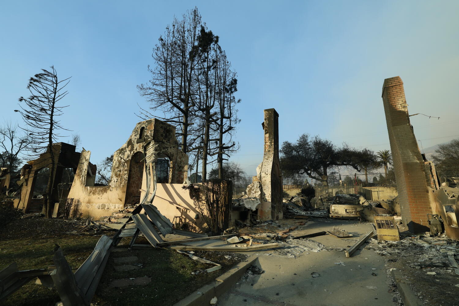
Recent wildfire activity in the region radically altered these mechanics. Burn scars strip away organic matter and create a hydrophobic layer on the soil surface. Hydrological modeling of these specific watersheds indicates that runoff coefficients can spike up to eight times normal volumes following a moderate-to-severe fire. Rain falling on the upper rim does not gently seep into the water table; instead, it sheets off smooth rock faces, coalescing into secondary channels that feed primary arteries like Phantom Creek with terrifying speed.
The Dynamics of Debris Flow Amplification
A flash flood in a restricted canyon is rarely just water. As the initial surge moves downward, it encounters sediment, loose talus, uprooted vegetation, and historical rockfall deposits. This material becomes entrained in the leading edge of the flood, transforming a fluid wave into a dense slurry known as a debris flow.
The physics of a debris flow change the damage function entirely. Density increases from standard water at one metric ton per cubic meter to upwards of two tons per cubic meter. Impact force scales linearly with density and quadratically with velocity. Structural elements, waterlines, and human bodies caught in the path face an indestructible moving wall. This explains why infrastructure designed to withstand standard flood levels—such as portions of the Transcanyon Waterline—experiences structural failure. The kinetic energy delivered by boulder-laden mud outstrips engineering safety margins calculated for clear water alone.
The Failure Modes of Human Risk Perception
Visitors entering the inner canyon during monsoon season often miscalculate the spatial and temporal disconnect between weather events. Precipitation can occur miles away on the rim, invisible and inaudible to someone resting at Phantom Ranch or hiking along Bright Angel Trail.
The travel time for floodwaters varies wildly. While rain at the highest elevations may take hours to traverse a long drainage, water originating near a localized burn scar can reach the canyon floor in minutes. This creates a dangerous cognitive bias. A hiker observes clear skies overhead, assumes safety, and fails to monitor upstream atmospheric conditions. By the time the acoustic signature of the approaching flood—often described as a low freight-train roar—becomes audible, the reaction window has closed.
Search and Recovery Logistics in High-Risk Terrain
Executing search and extraction operations following an inner-canyon disaster exposes emergency personnel to extreme secondary risks. Rescuers operating near swollen waterways like the Colorado River face unstable banks, floating timber jams, and ongoing meteorological hazards.
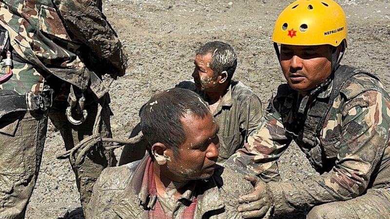
The logistical architecture required to evacuate approximately 80 individuals relies heavily on rotor-wing aircraft. Helicopter performance in the Grand Canyon is constrained by high ambient temperatures, downdrafts, and restricted vertical clearance. Furthermore, ongoing rain and unstable air masses frequently ground air support, forcing tactical commanders to choose between delaying recovery operations or risking ground teams in active flood zones. Tracking missing persons adds another layer of friction. Park officials must reconcile backcountry permit logs, vehicle license plates at trailheads, and transient hiker reports to establish an accurate baseline of who was in the impact zone. In dynamic environments where travelers frequently change itineraries, establishing a definitive census can take days.
Deploy field-level automated acoustic sensors and real-time precipitation gauges at high-altitude choke points above critical visitor hubs to provide an automated, hard-wired early warning system that bypasses human perceptual delay during active monsoon cycles.